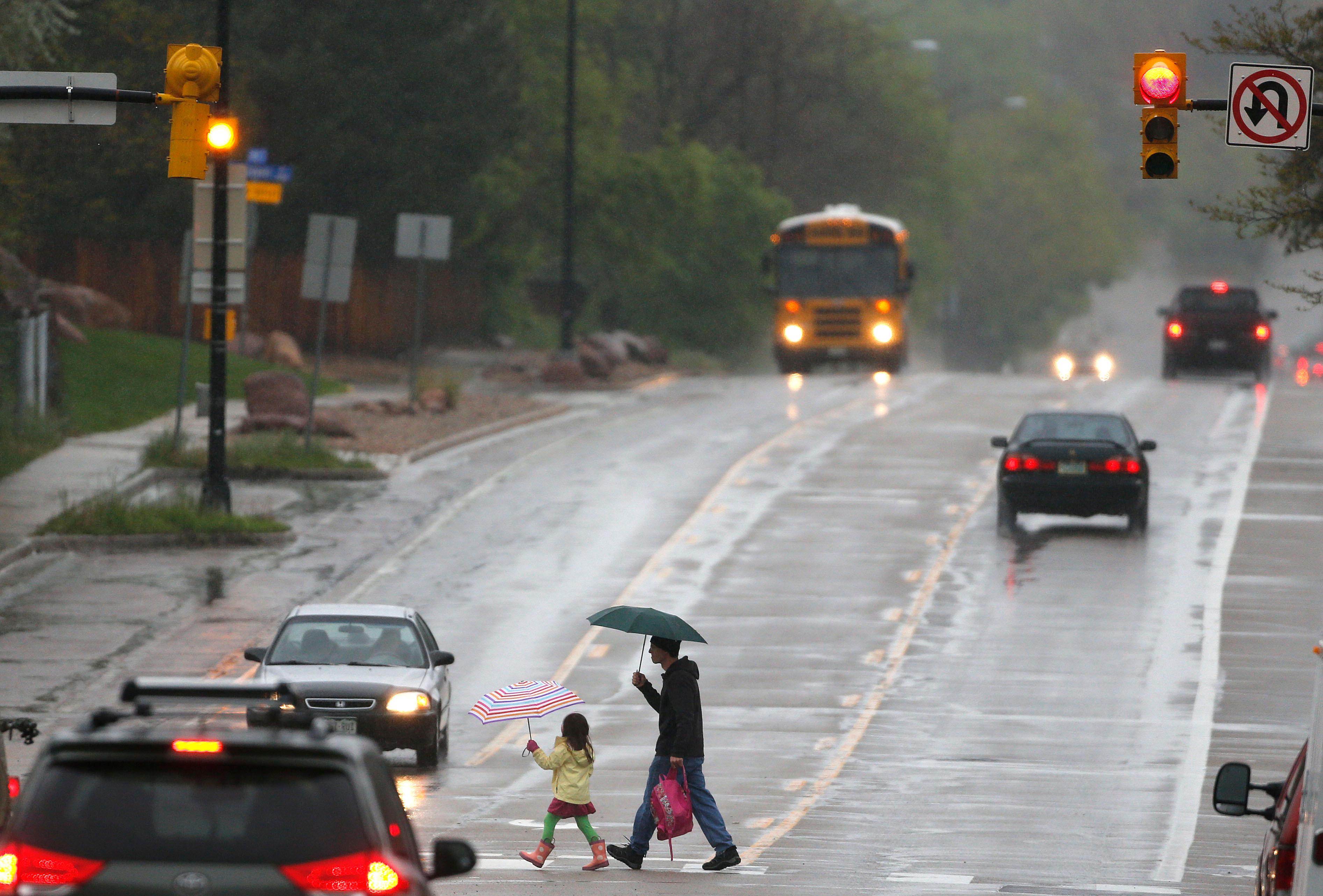
This weekend will start on a wet and gloomy note but end with sunshine and warm temperatures.
Friday morning across the foothills and adjacent plains, stretching from Fort Collins to Colorado Springs, there is a slight chance of light rain and snow. Temperatures will reach the low-40s along the Interstate 25 corridor and in the mountains east of the Continental Divide.
Showers will likely increase in the afternoon and turn to snow in the evening. Total accumulation along the I-25 corridor is expected to be 1-4 inches and 4-9 inches in the foothills and east slope mountains. Temperatures will drop into the low-30s on the Front Range and upper-20s in the mountains.
According to the National Weather Service forecast, other parts of the state, including the eastern plains, the Western Slope, and areas south of Pueblo may get up to 2 inches of snow on Friday.
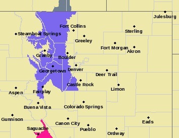
The forecast also warns of slick roads Friday night and early Saturday morning in most parts of the state.
Snow will continue through Saturday morning across much of the Front Range mountains, foothills, and plains. Moisture is expected to taper off starting mid-morning and continue to decrease through early afternoon.
“East of the Continental Divide is what we're looking at for the best snowfall,” said Bernie Meier of the National Weather Service in Boulder. If you’re planning to ski or snowboard “Eldora, Winter Park, Loveland, kind of along the divide there, they're looking at probably four to eight inches for tonight.”
By Sunday, sunshine will sweep across the state and bring warmer, drier conditions. Highs will reach the 50s in the mountains, the upper 60s along the Front Range, the 70s in Southern Colorado, and the 80s on the Western Slope.


